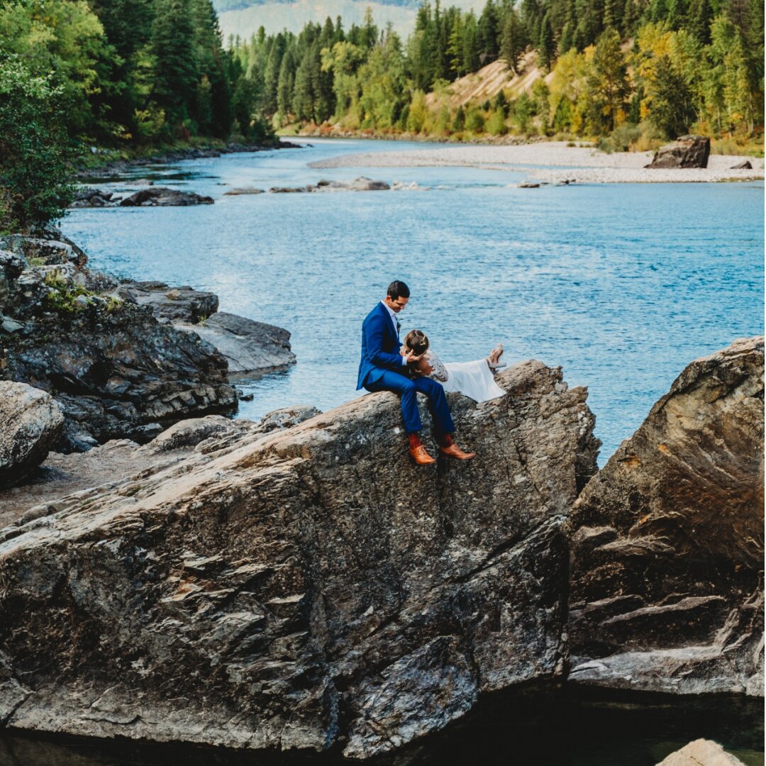
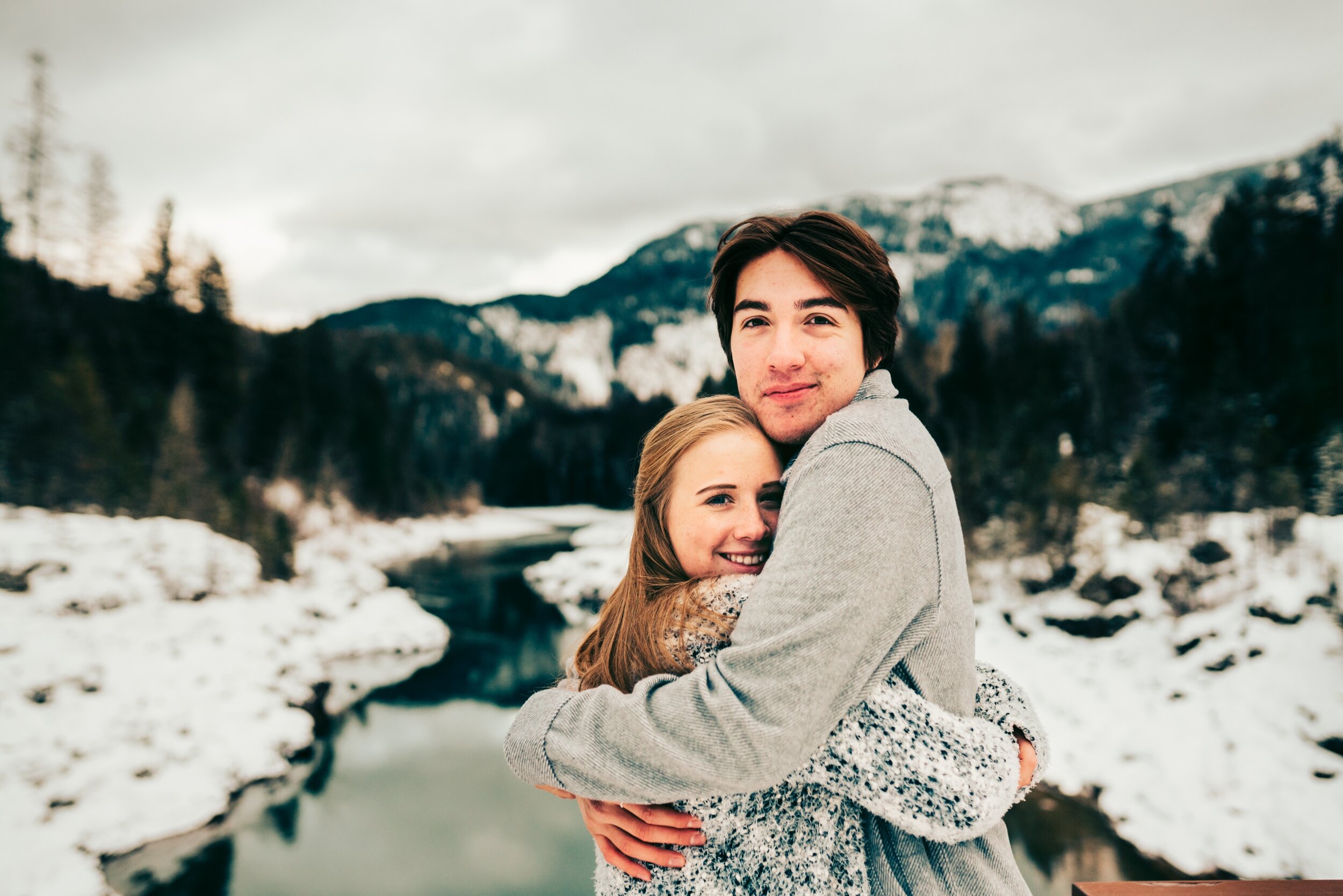
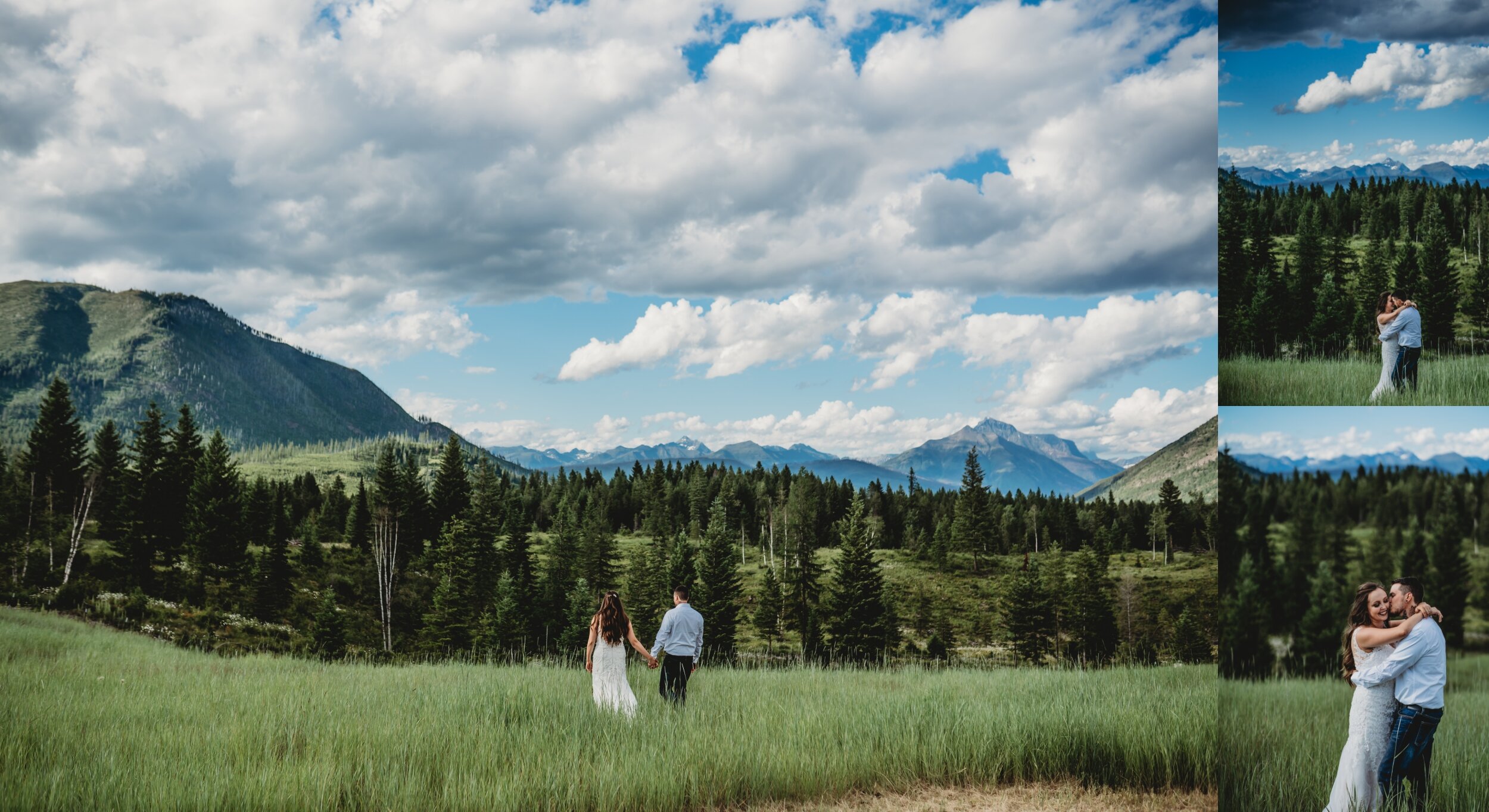
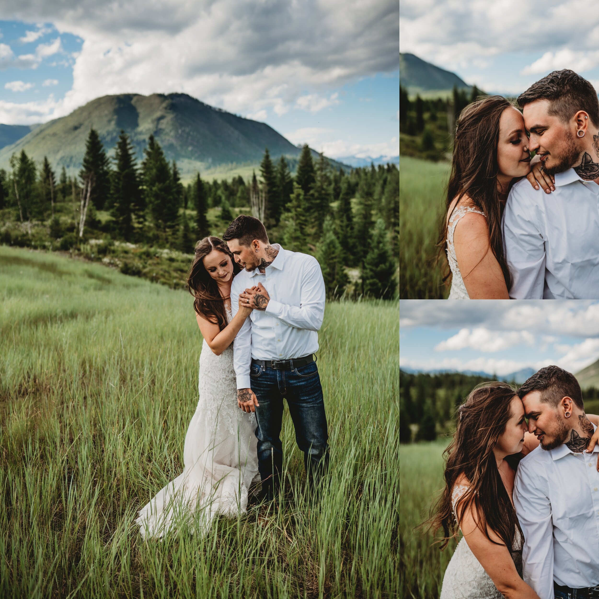
Locations, locations, locations…I get it, Montana is overwhelmingly gorgeous and it’s so hard to choose. Here’s to trying. Here are a few of the favorites. I also am always up for any new adventures or locations you may have in mind. :) And..I’ve shot at gorgeous ones that are not listed here. So please, if you saw something on my Insta or site that trips your heart strings, screen shot and we will get there!
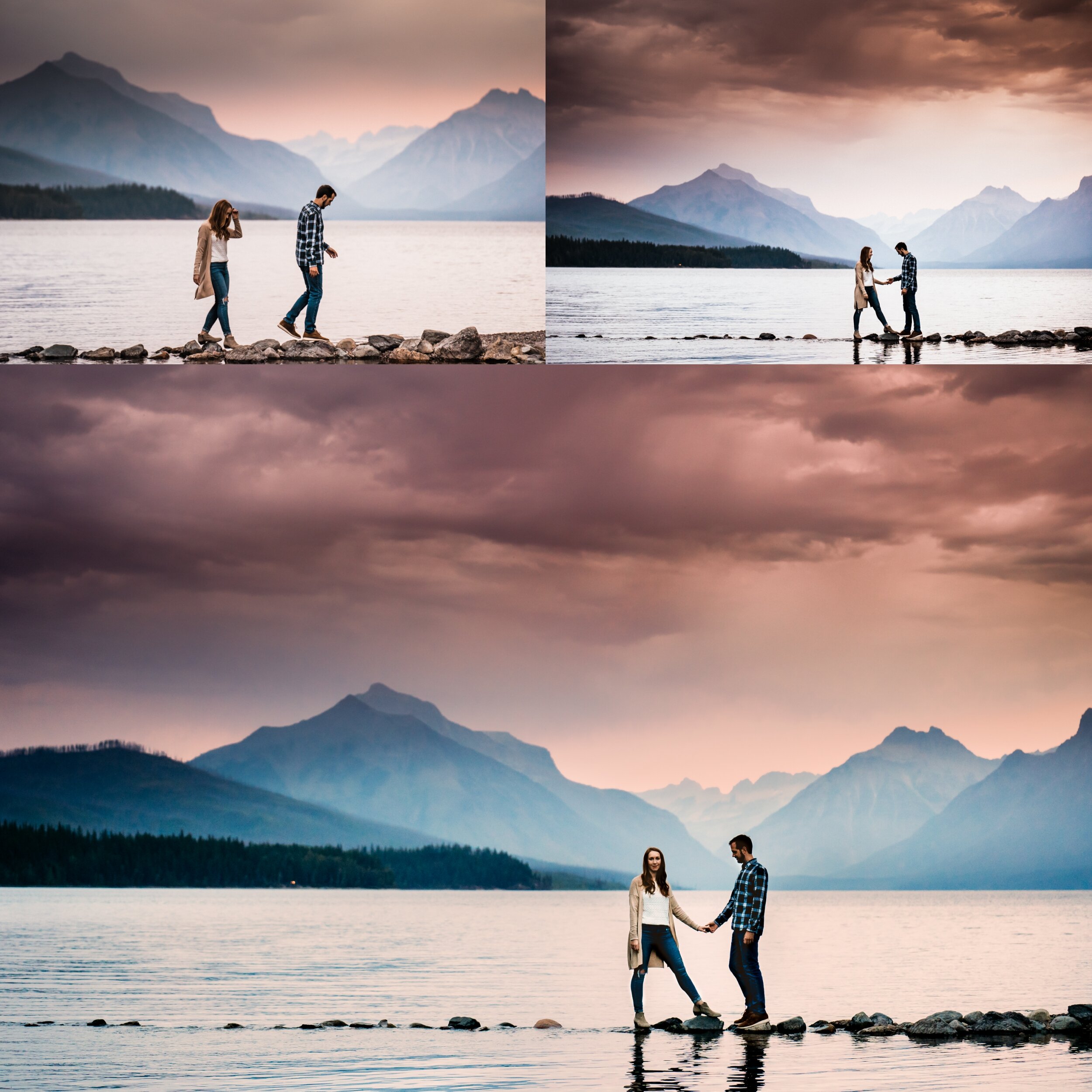
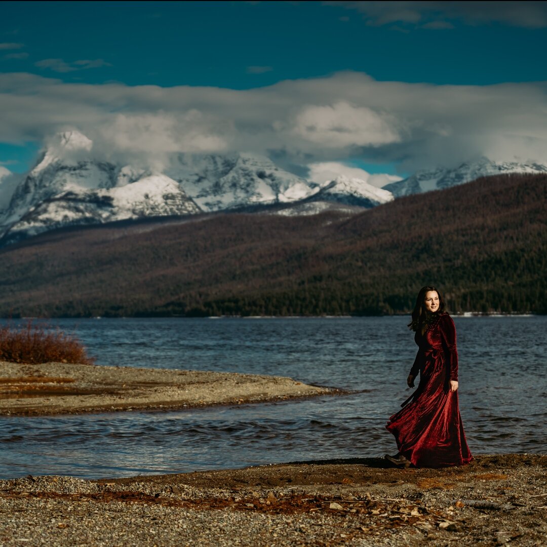
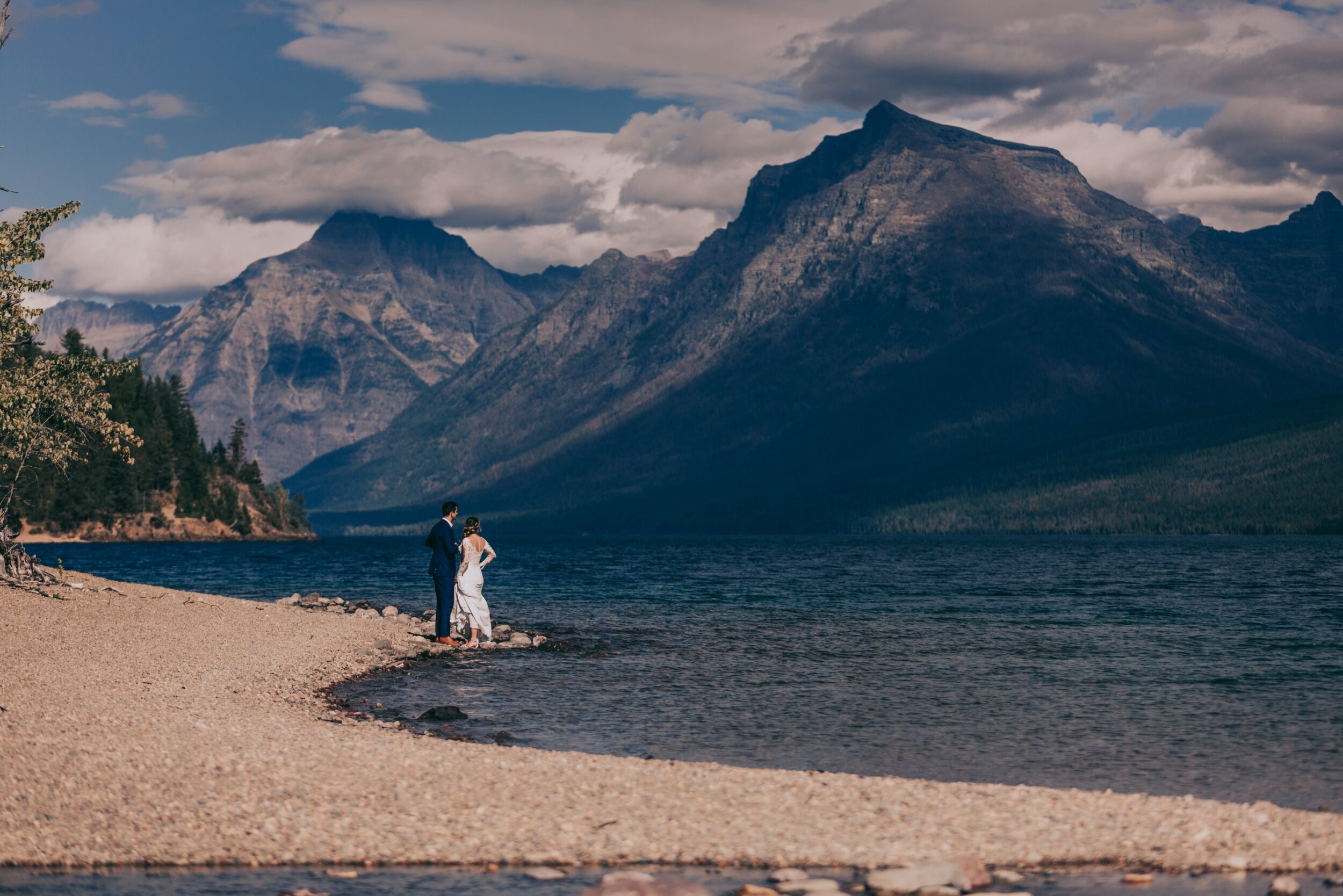
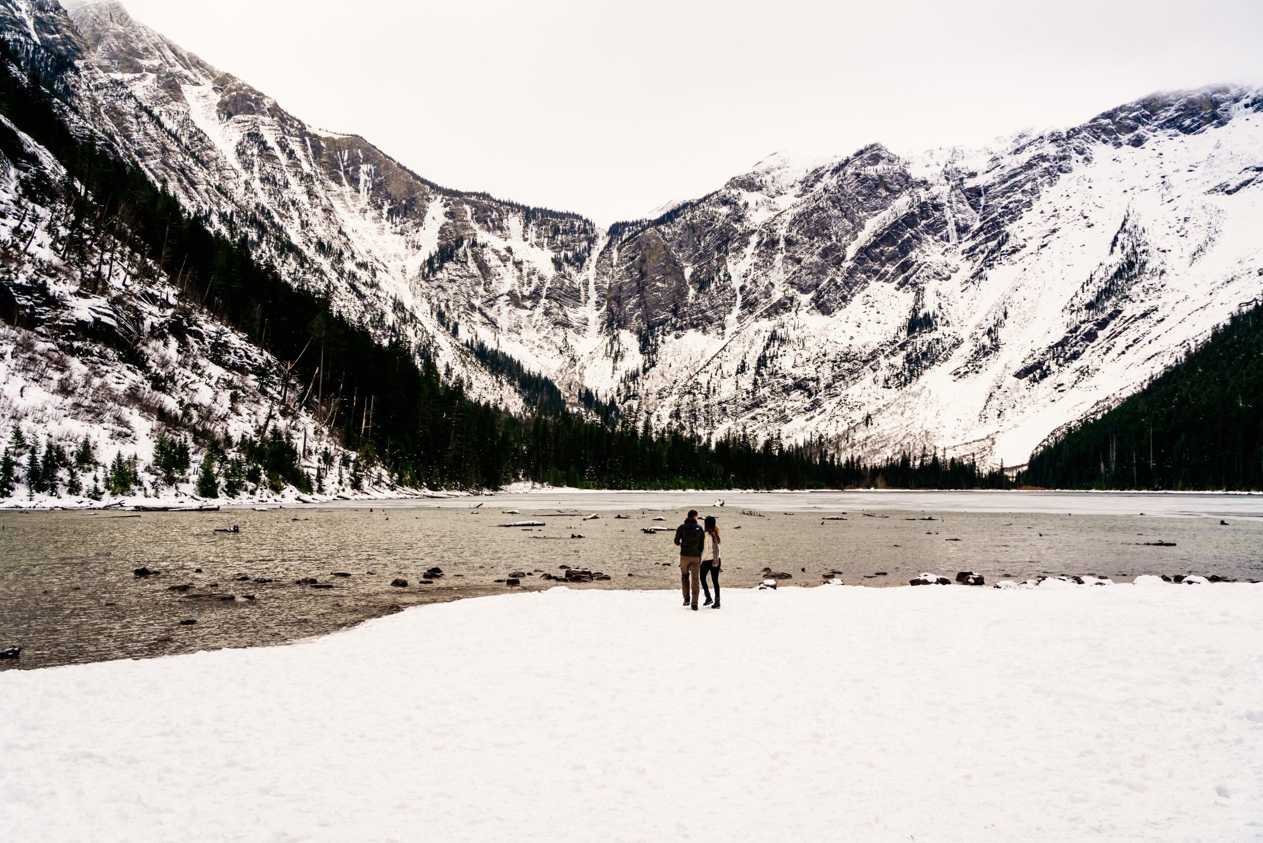
Lake Mcdonald - This one is a classic, iconic. It is located 45 minutes from Kalispell and is the first stop in Glacier National Park, because of that, it is accessible all year round. Even in the dead of winter. It is easily paired with either the West Glacier Bridge or Belton Stage Park. Seasons: ALL
West Glacier Bridge…This is 5 minutes from Apgar/Lake Mcdonald. Accessible year round. Seasons: ALL
Belton Stage Park….again 5 minutes from Apgar/Lake Mcdonald. Accessible year round. Seasons: ALL
Polebridge. Accessible year round. An hour from Apgar (but not in the same direction as Logan’s Pass). Paired well with Lake Mcdonald, Belton Stage, and/or the Bridge. Seasons: ALL
Let’s take a little trek down going to the sun road. This is the mouth of Lake Mcdonald/Avalanche Gorge/Avalanche Lake area (Avalanche Lake is a 2.5 mile hike) from the gorge. This spot is 30 minutes from Apgar. Accessible early spring and late fall (even into the winter depending on weather). Seasons: Spring, Summer Fall, Winter (not all winter, depends on snow pack)
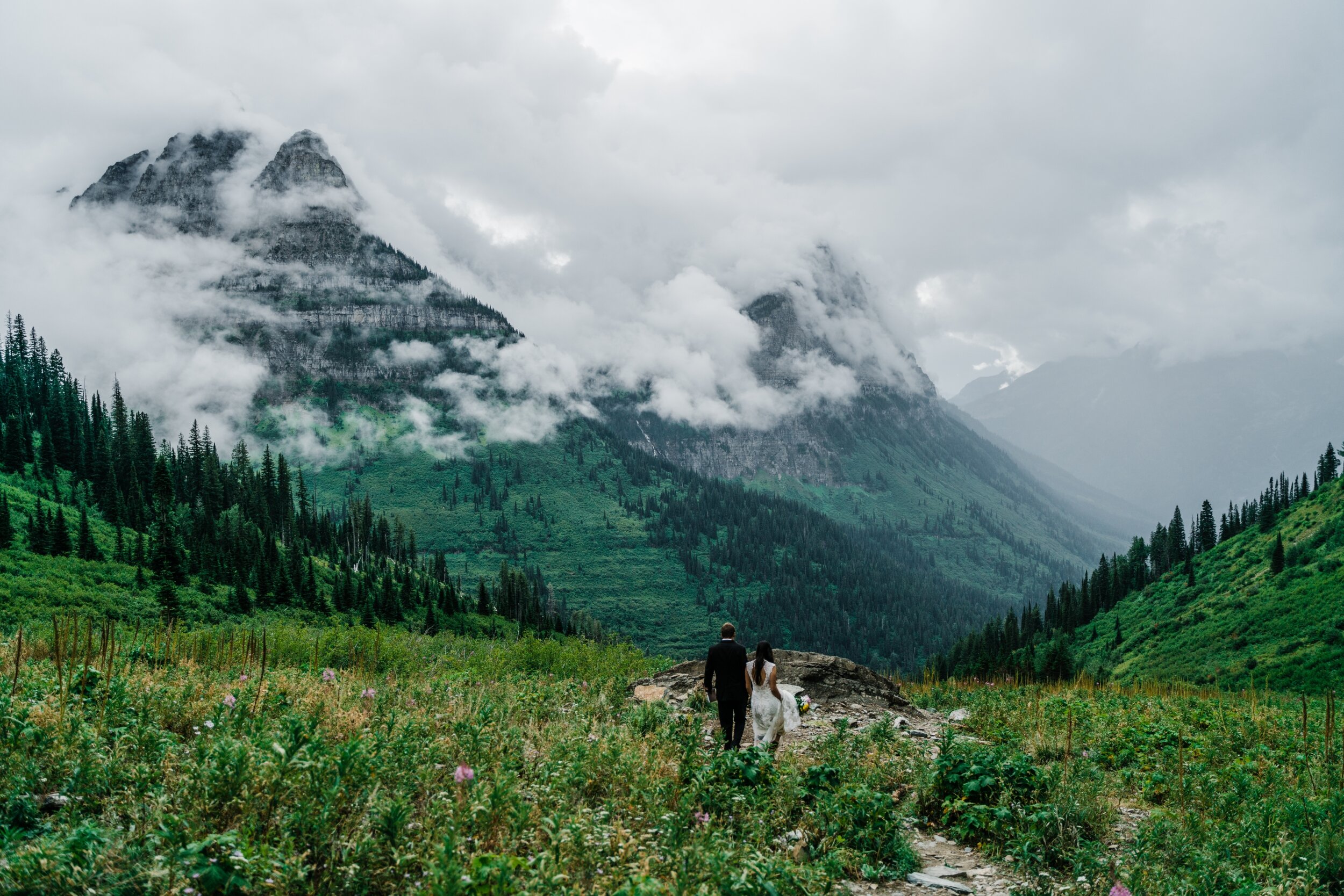
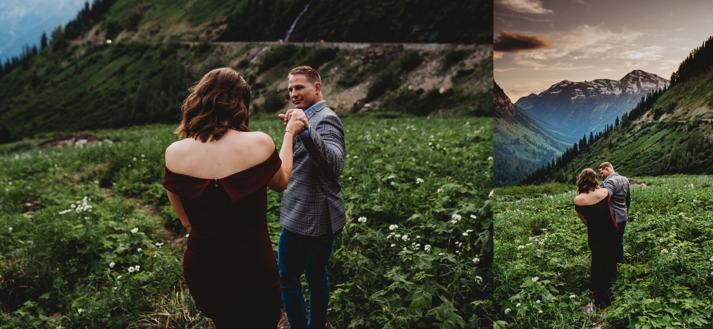
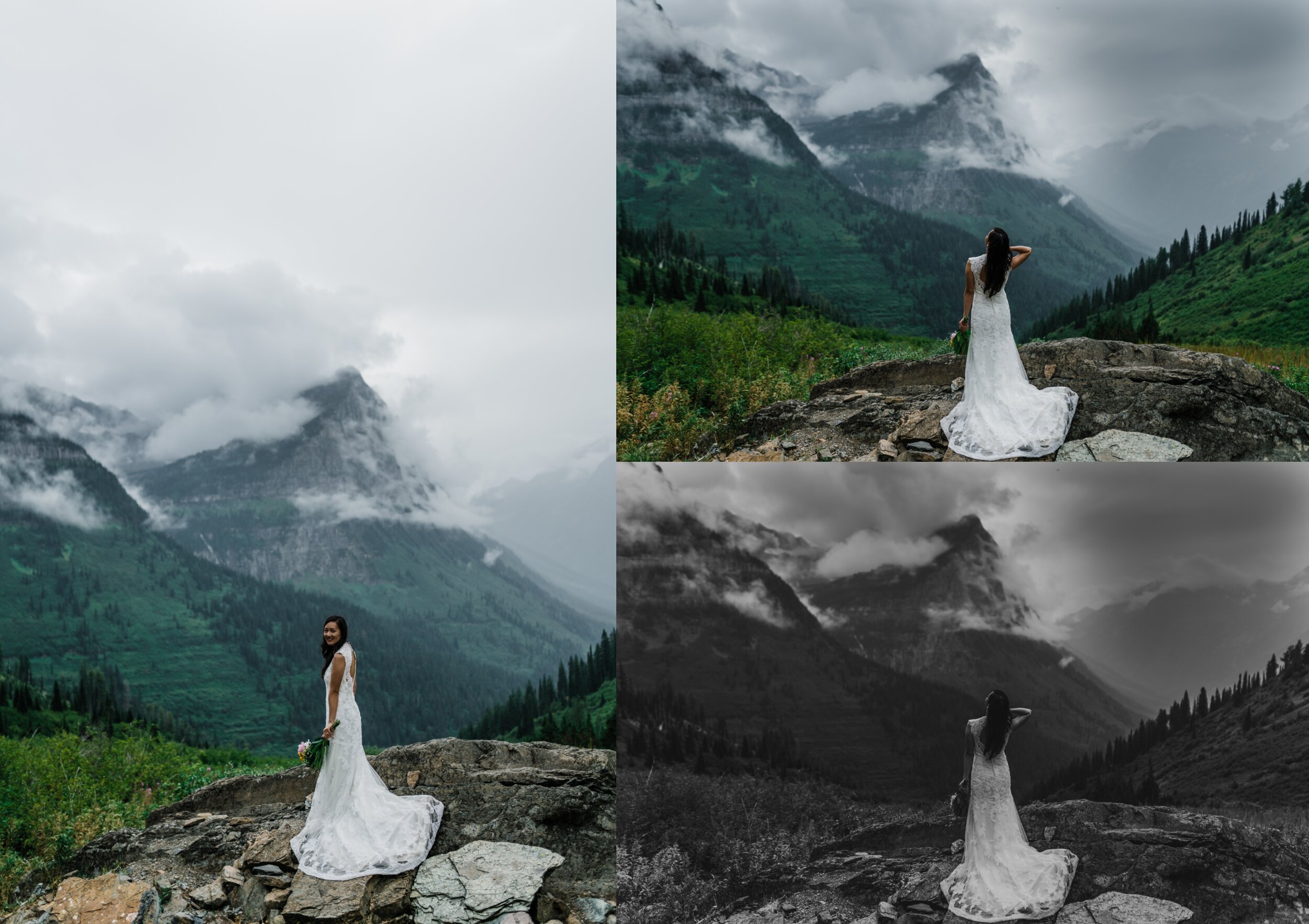
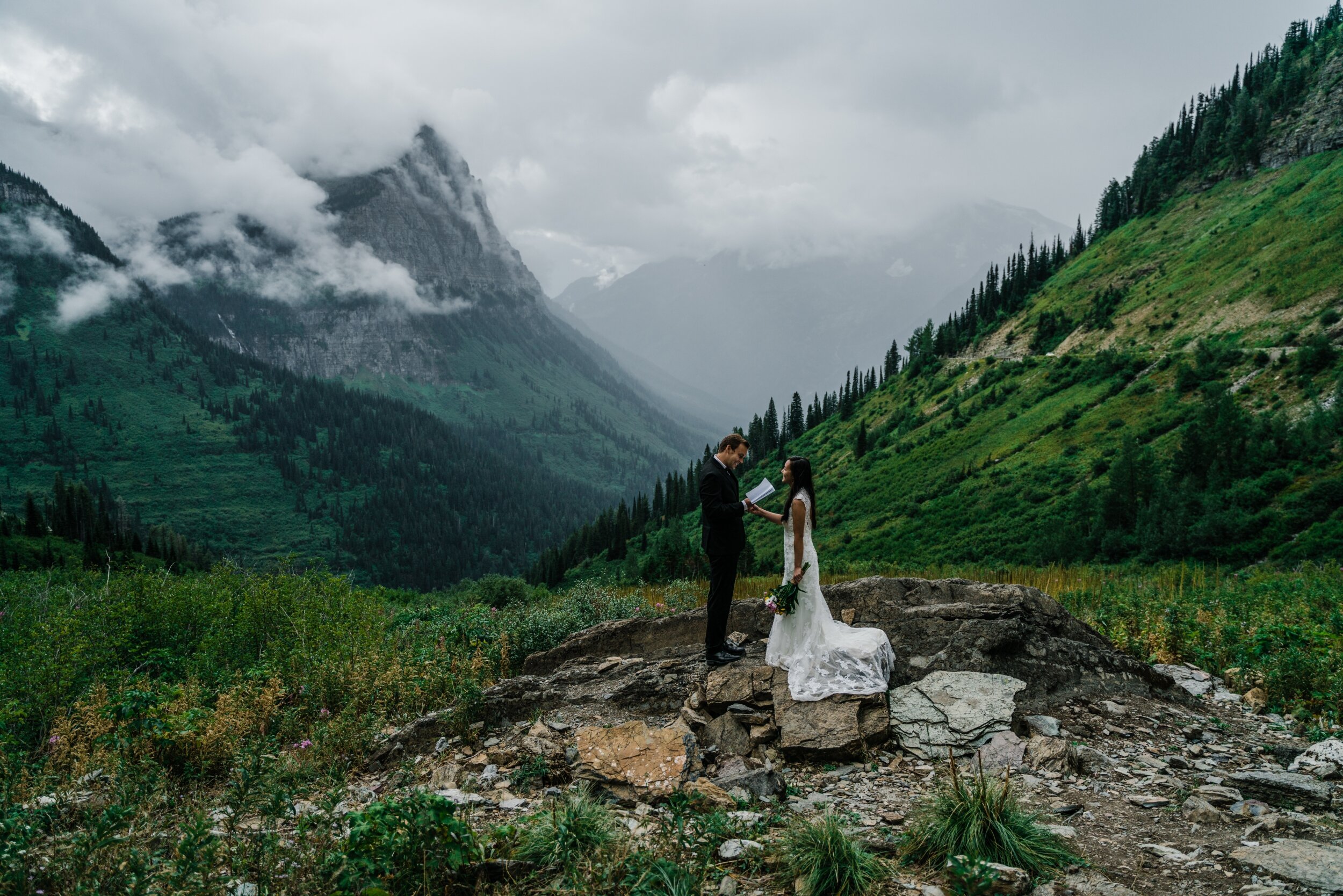
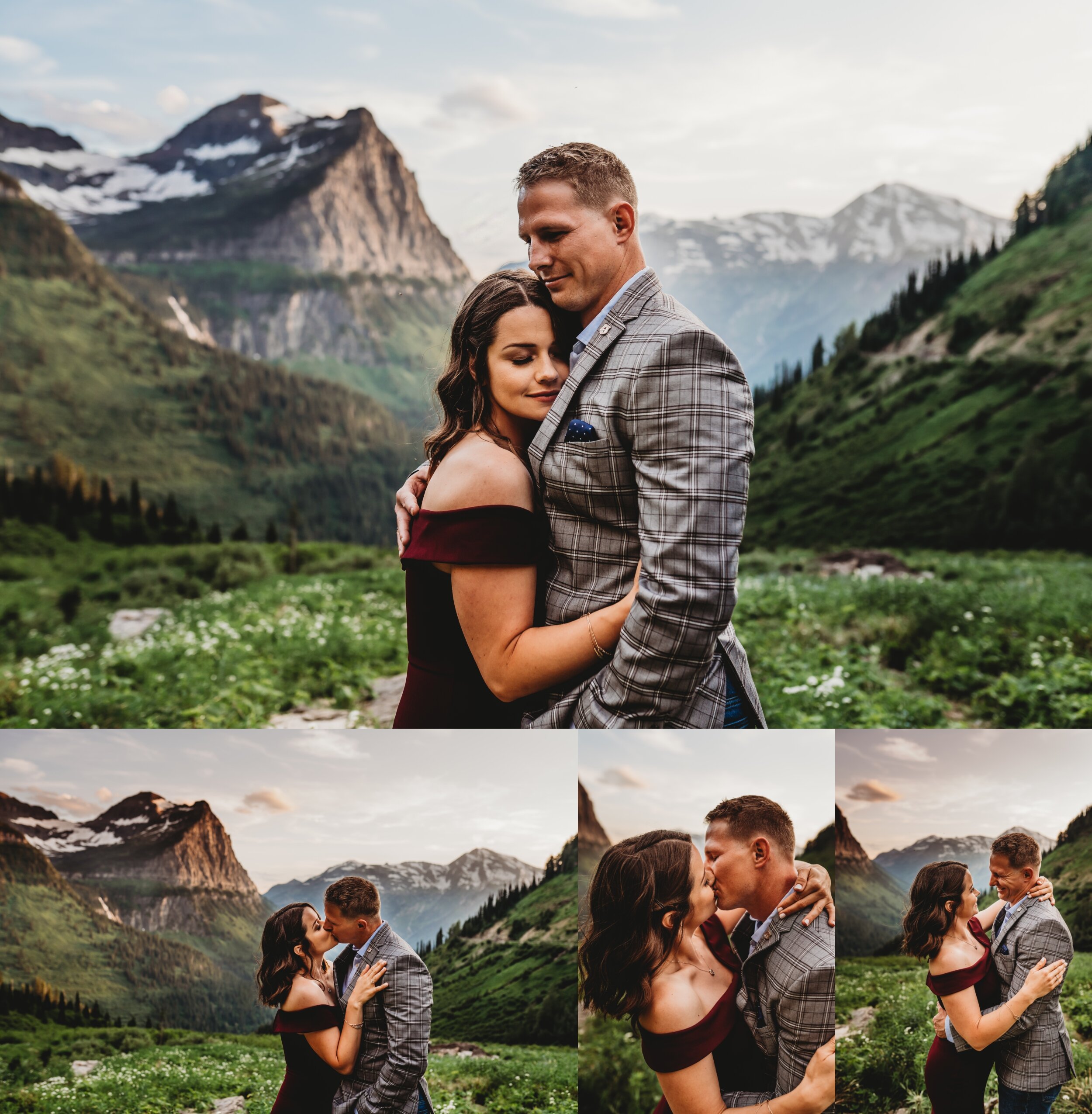
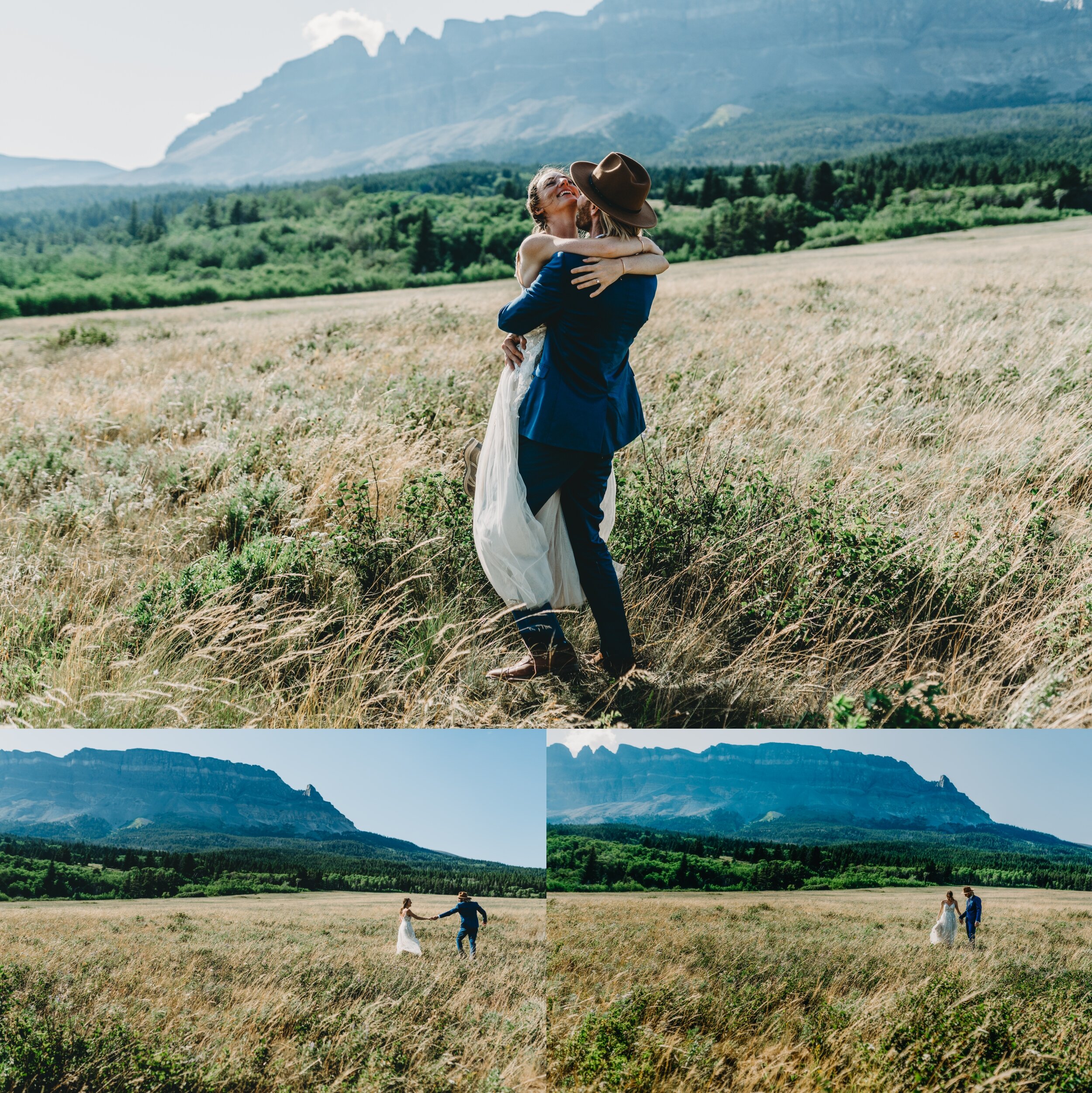
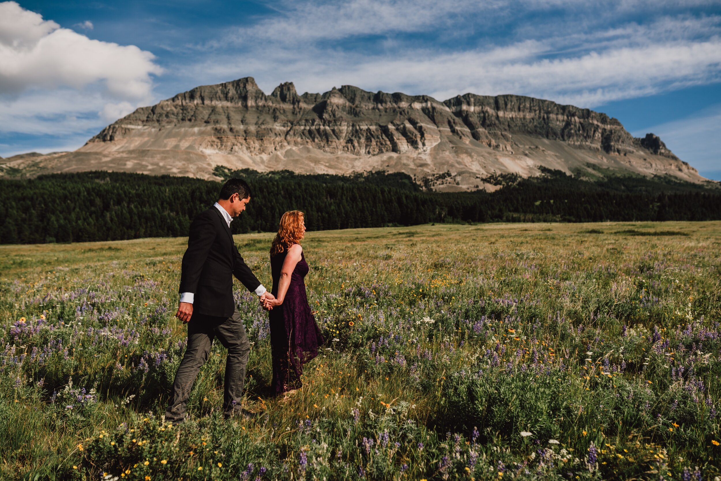
Big Bend - Let’s talk about this..I know what you are thinking now, is this even earth? This place changes (as in the wildflowers do), but it’s always incredible! It’s very close to Logan’s Pass and easily paired with it. It’s 30 minutes beyond Avalanche area and 1 hour beyond Apgar. Tends to be open end of June - end of September (that all depends on weather) Seasons: Summer, Fall
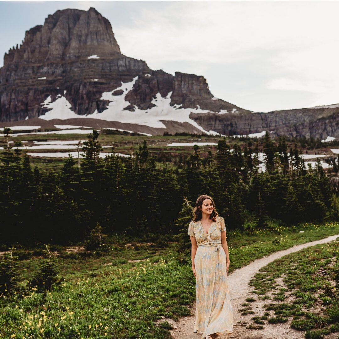
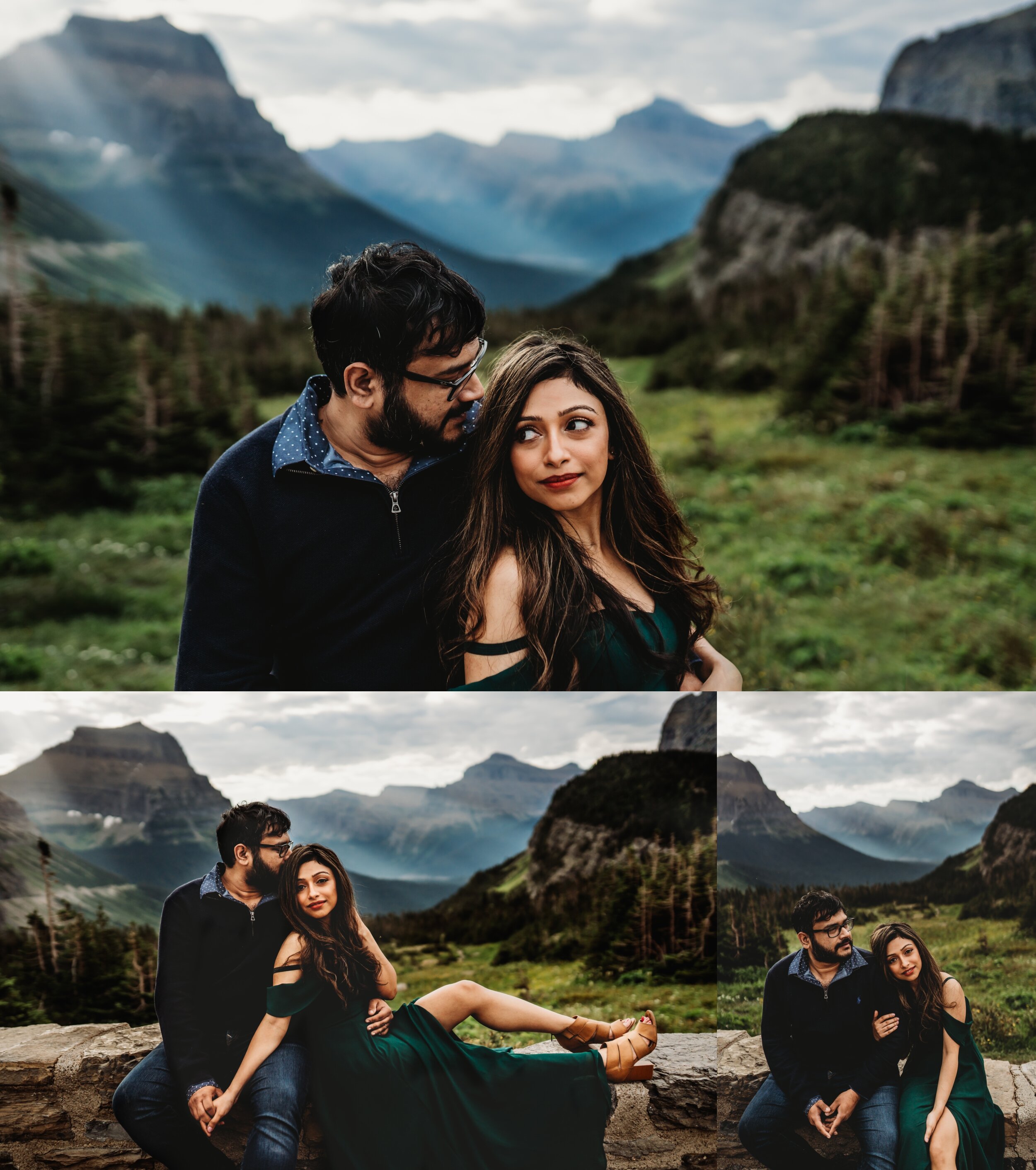
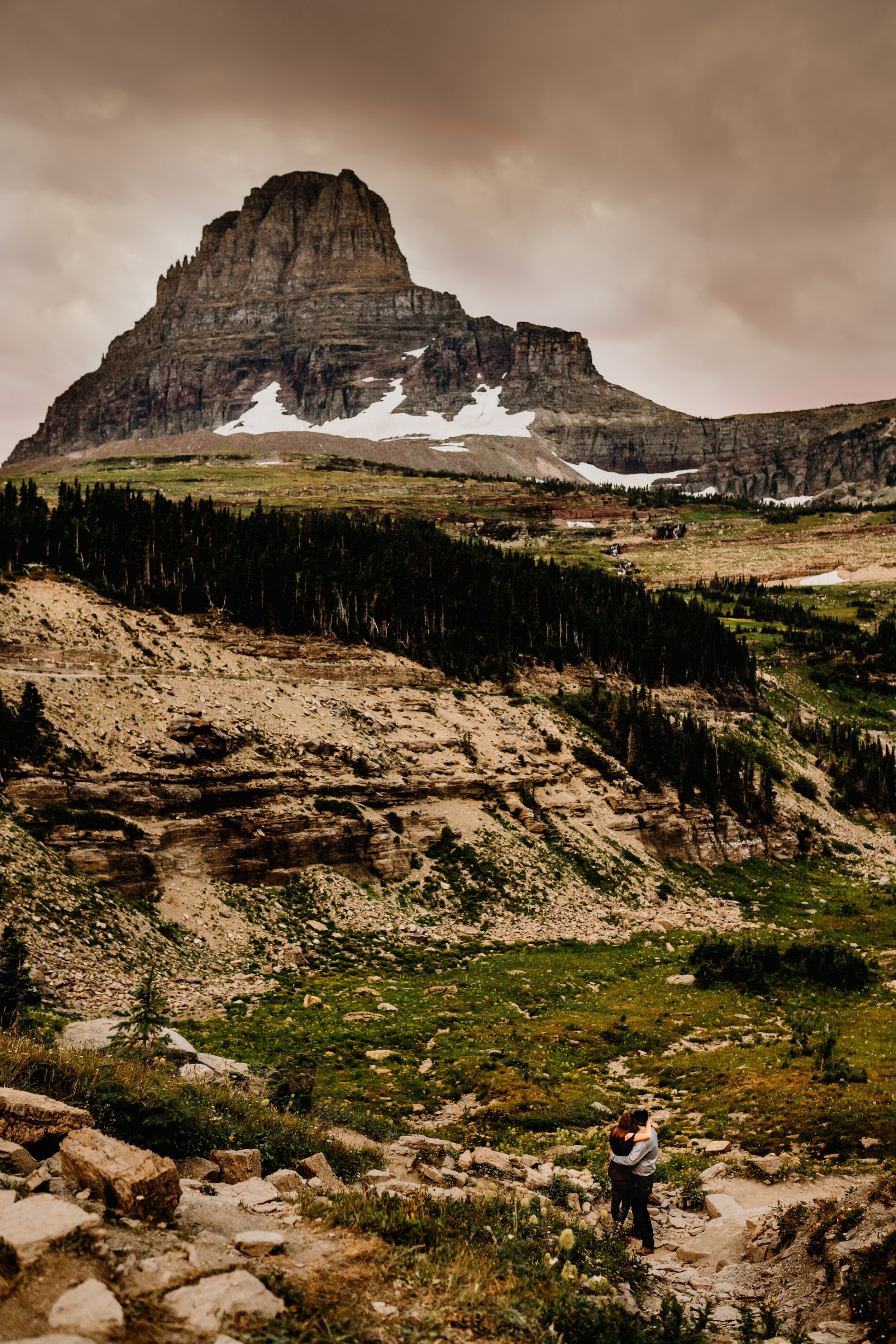
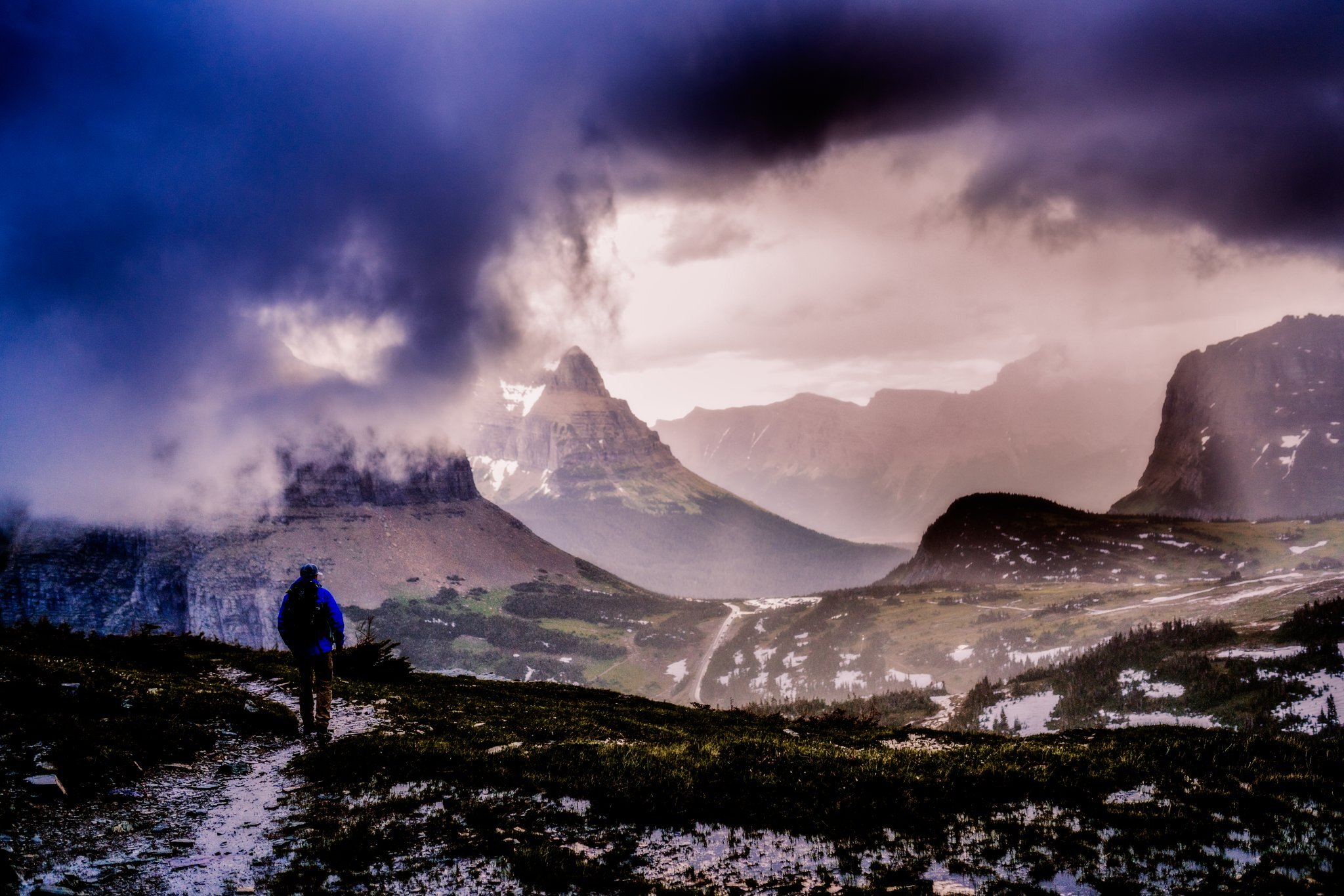
Logan’s Pass. It’s 30 minutes beyond Avalanche area and 1 hour beyond Apgar. Tends to be open end of June - end of September (that all depends on weather) Seasons: Summer, Fall
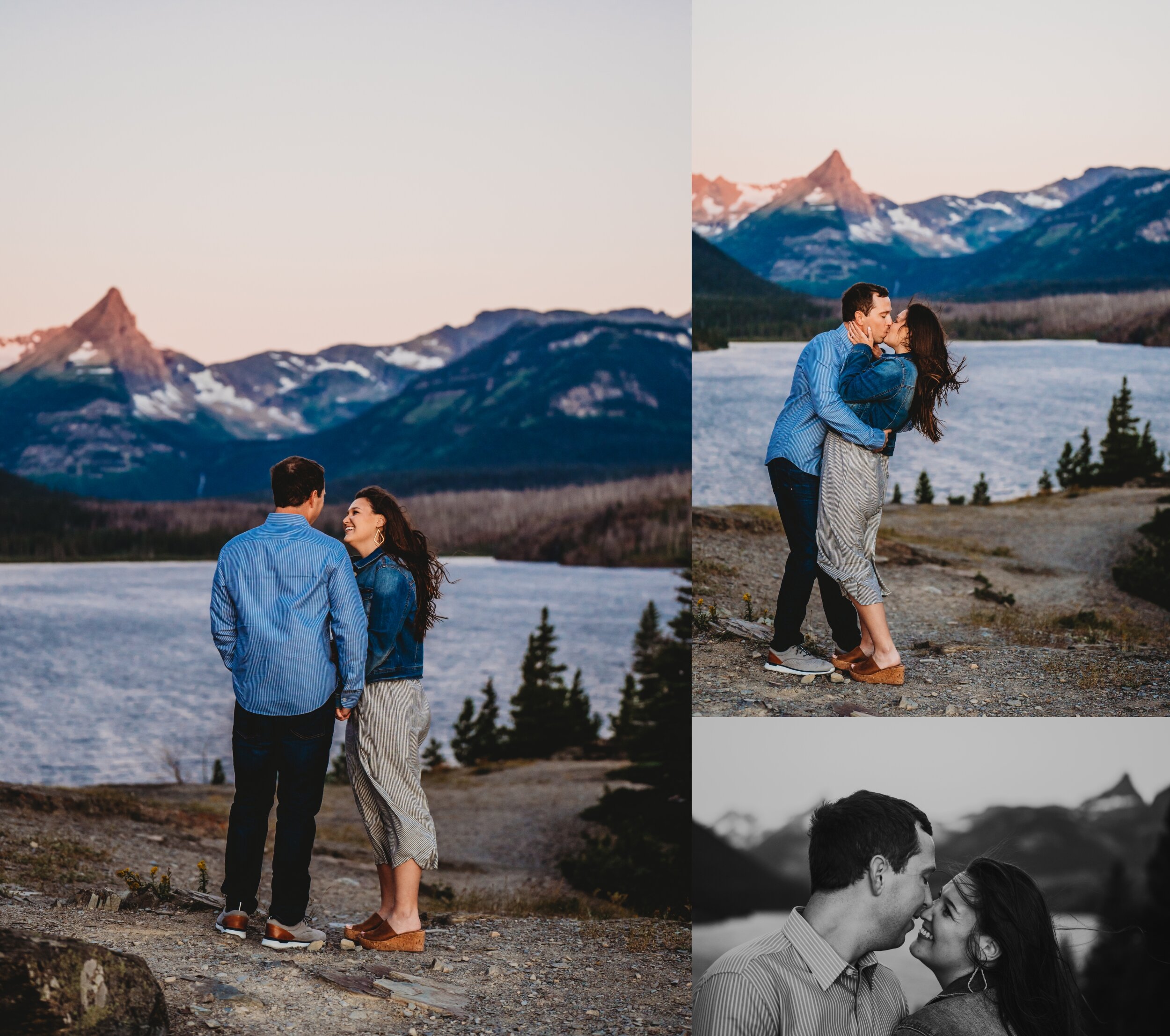
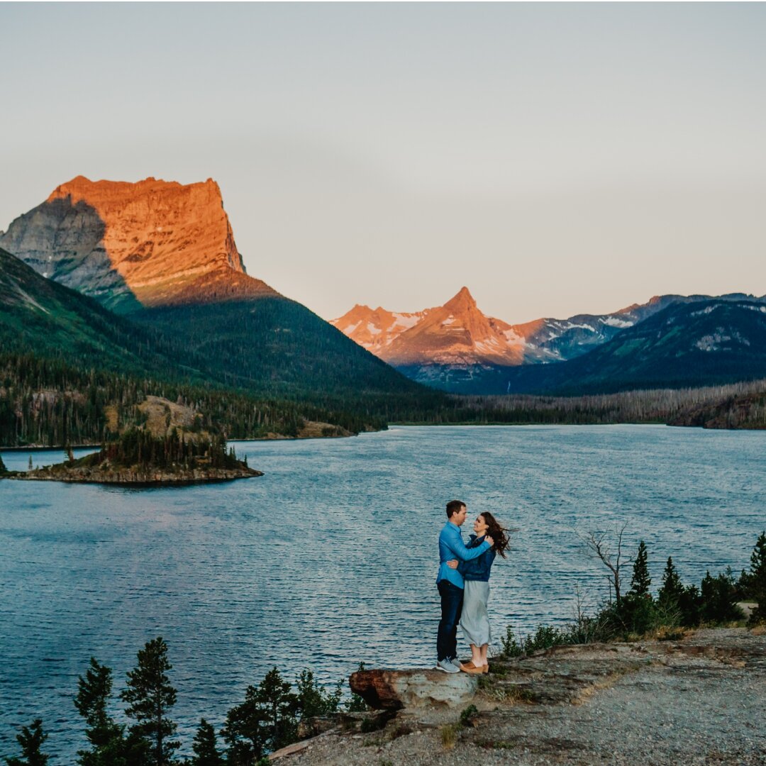
St Mary Lake overlook/the Meadows - 15 minutes from Logan’s Pass Tends to be open end of June - end of September (that all depends on weather) Seasons: Spring, Summer, Fall, Winter (not all winter, depends on weather)
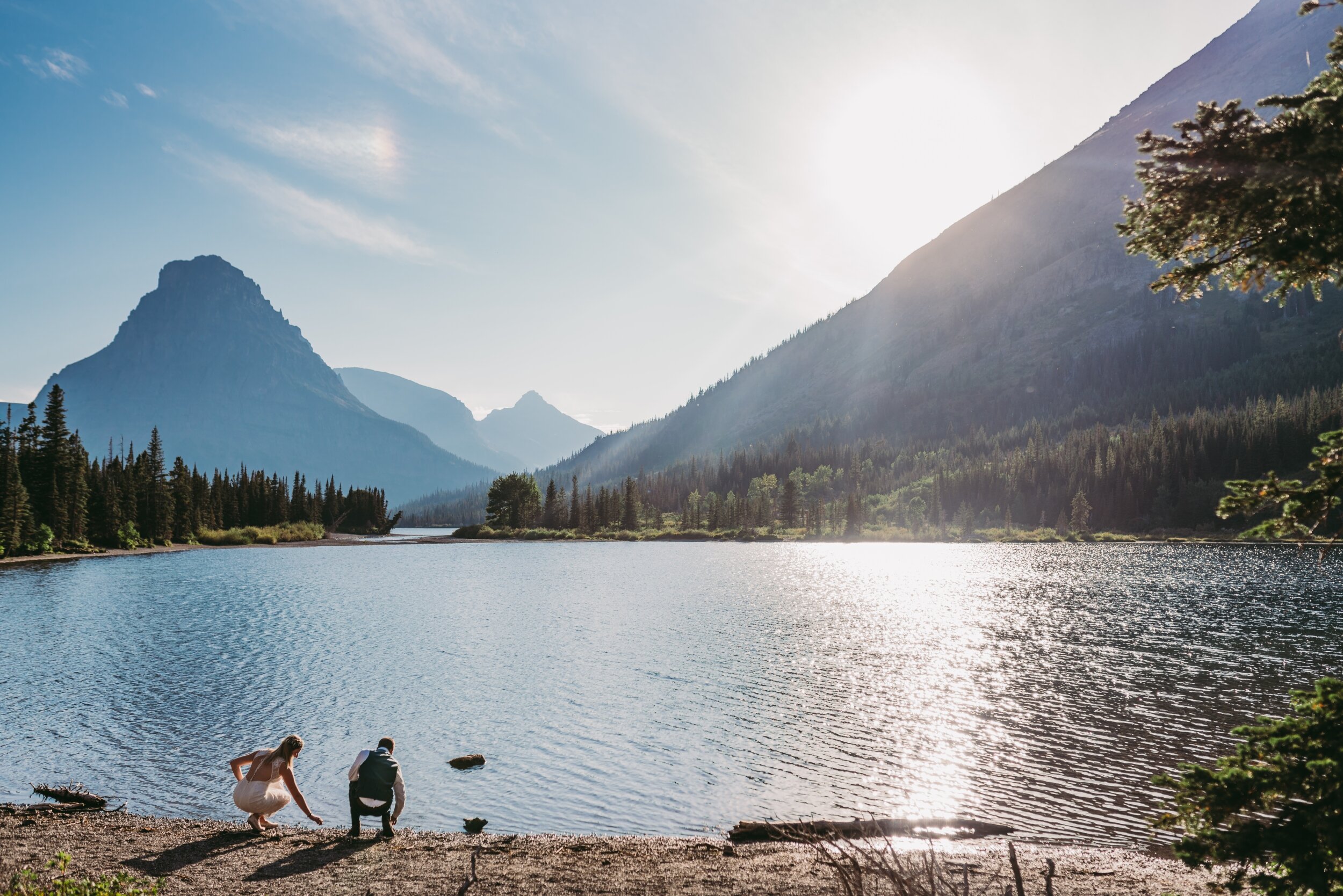
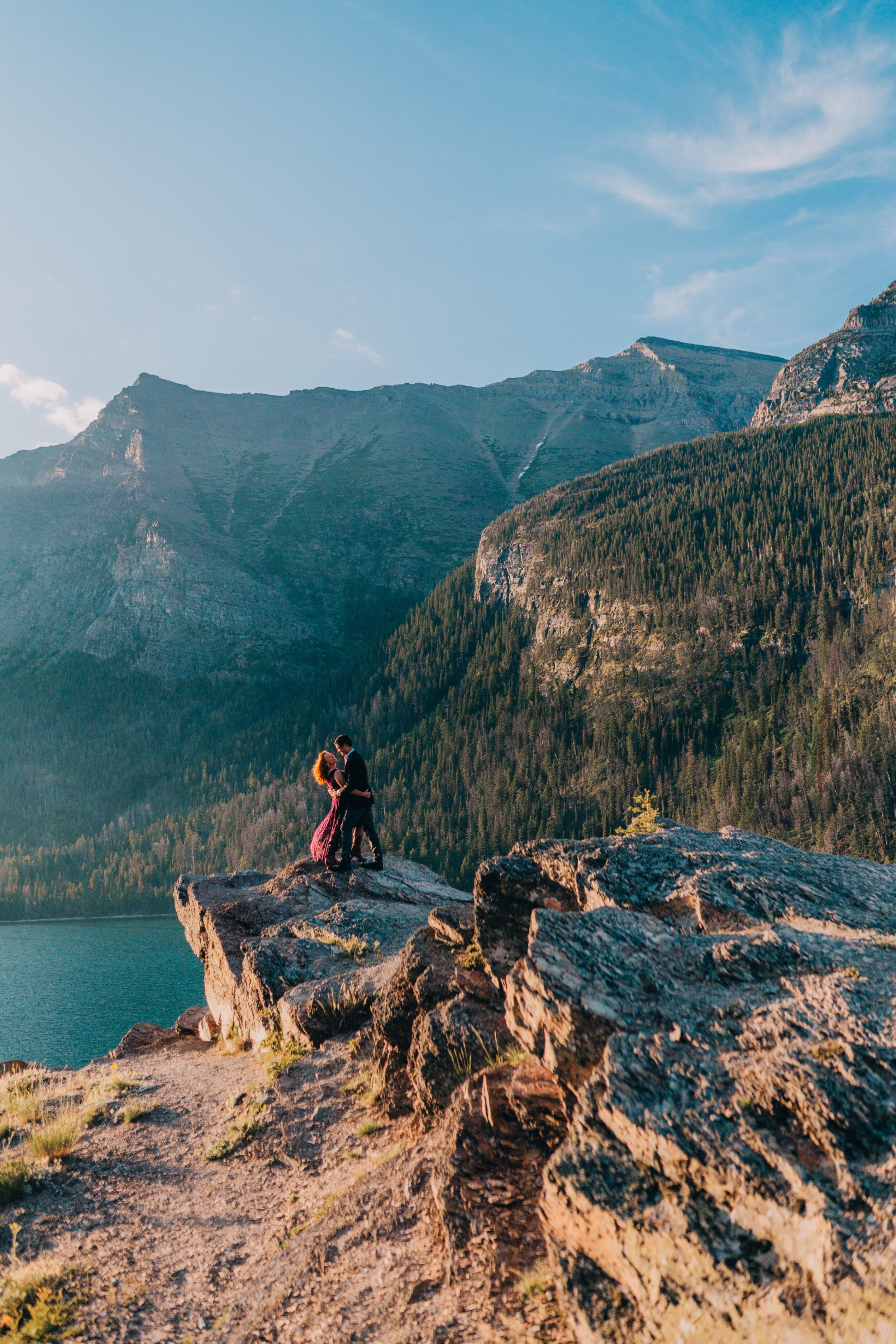
East Glacier/Two Medicine Lake 1.5 hours from Apgar. Allows for more season flexibility. Open a little later in the fall and earlier in the spring than Logan’s Pass. Seasons: Spring, Summer, Fall, Winter (not all winter, depends on weather)
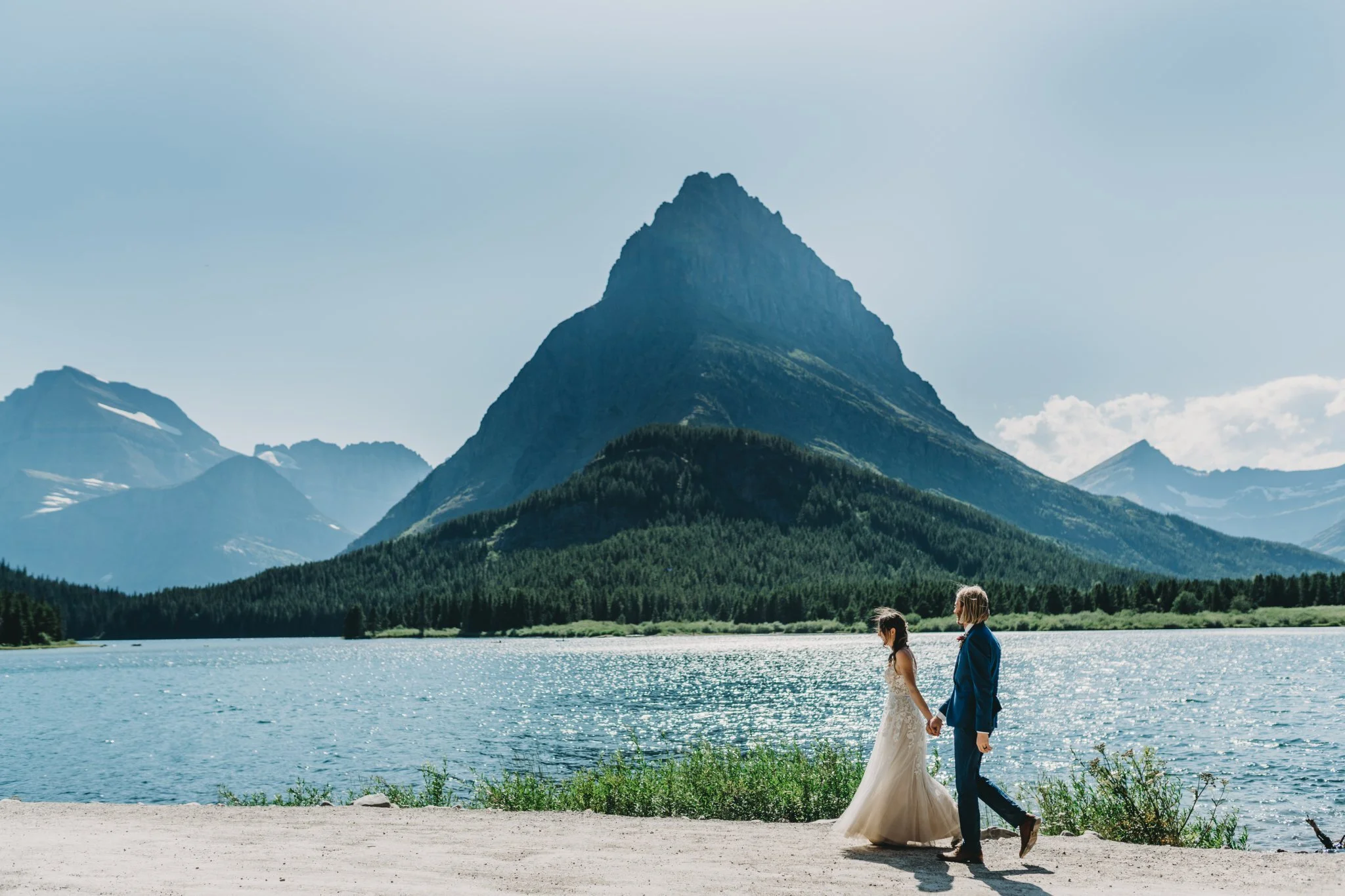
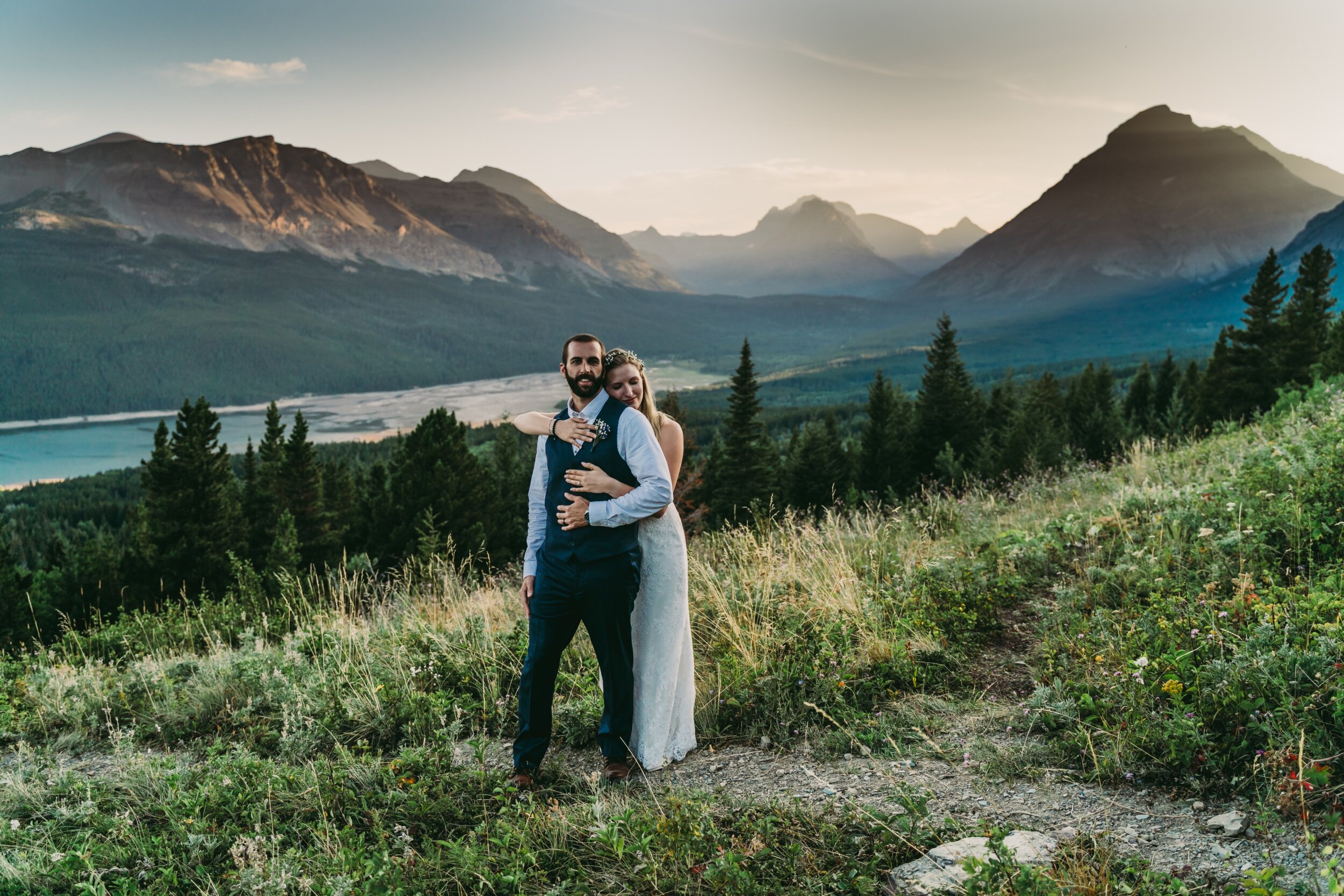
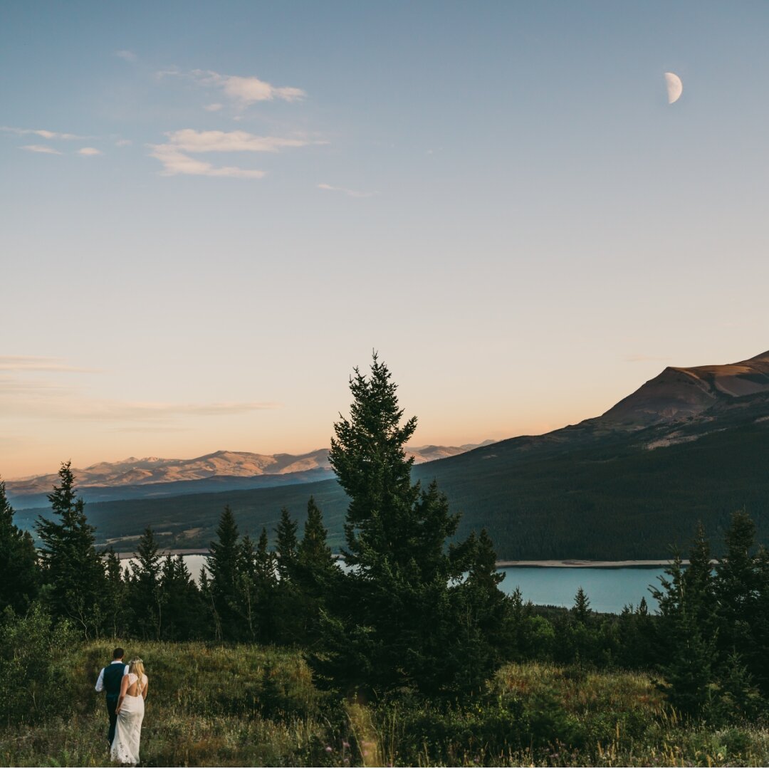
Many Glacier…this is the furthest from civilization but also means you can hit a gazillion stops on the way back through the park. Over 2 hours from Apgar. Allows for more season flexibility. Open a little later in the fall and earlier in the spring than Logan’s Pass. Seasons: Spring, Summer, Fall, Winter (not all winter, depends on weather)
Places you do not need to hike
WEST GLACIER: Belton Stage Park * Belton Bridge
LAKE MCDONALD: Apgar Boat Launch * Apgar Ampitheater * Fish Creek Campground* 7 mile pull out * The Lodge
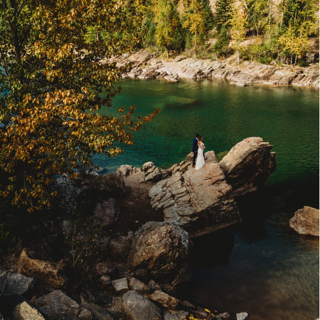
GOING TO THE SUN ROAD: Sacred Dancing Cascade * Avalanche Creek * Trail Of The Cedars * Red Rock Point * Big Bend
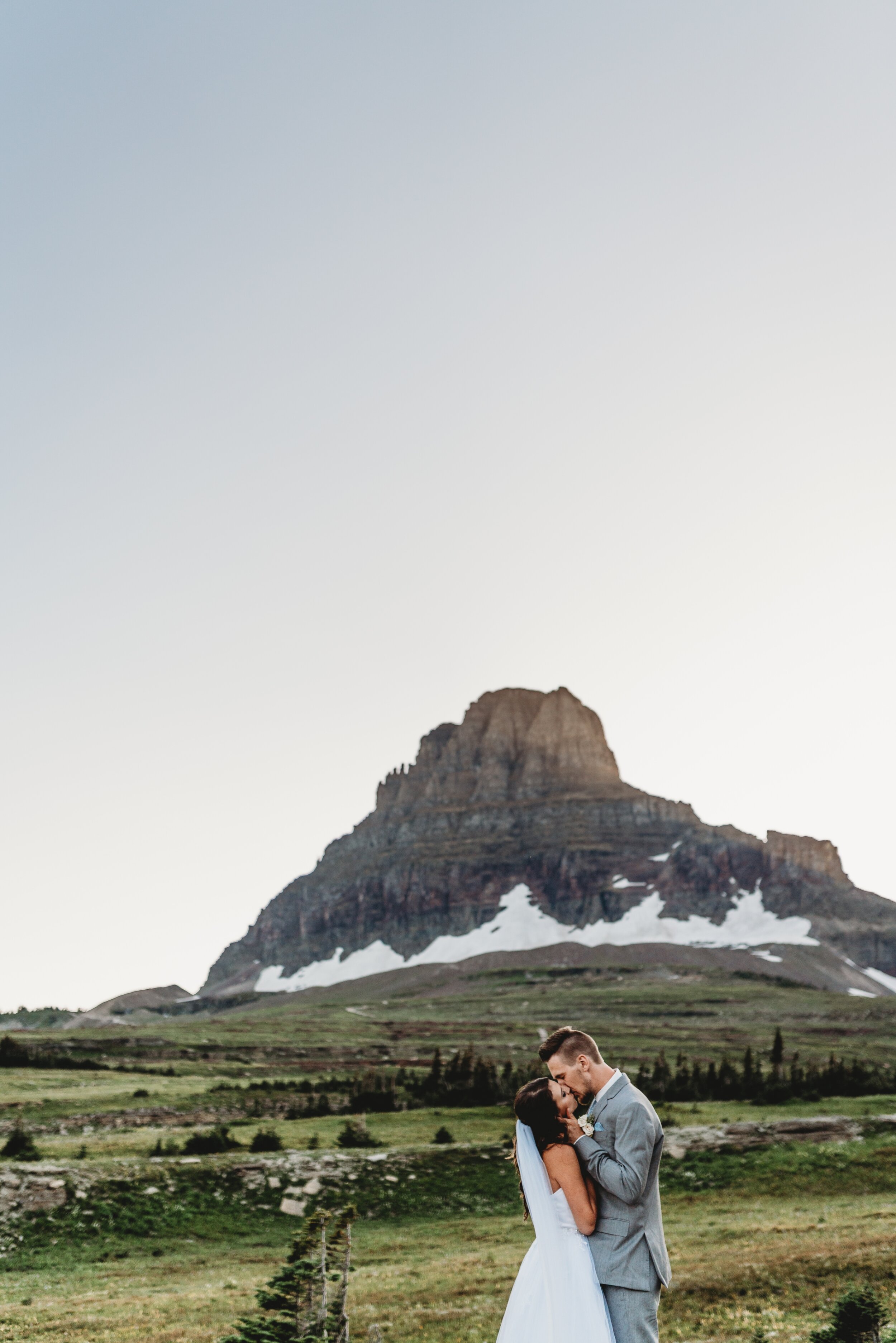
LOGAN PASS: the park service does not allow ceremonies here, BUT we can get bride/groom photos here!
ST. MARYS: Sun Point * Wild Goose Island Overlook* Two Dog Flats
TWO MEDICINE: Running Eagle Falls * Pray Lake * Two Medicine Lake * Looking Glass Overlook
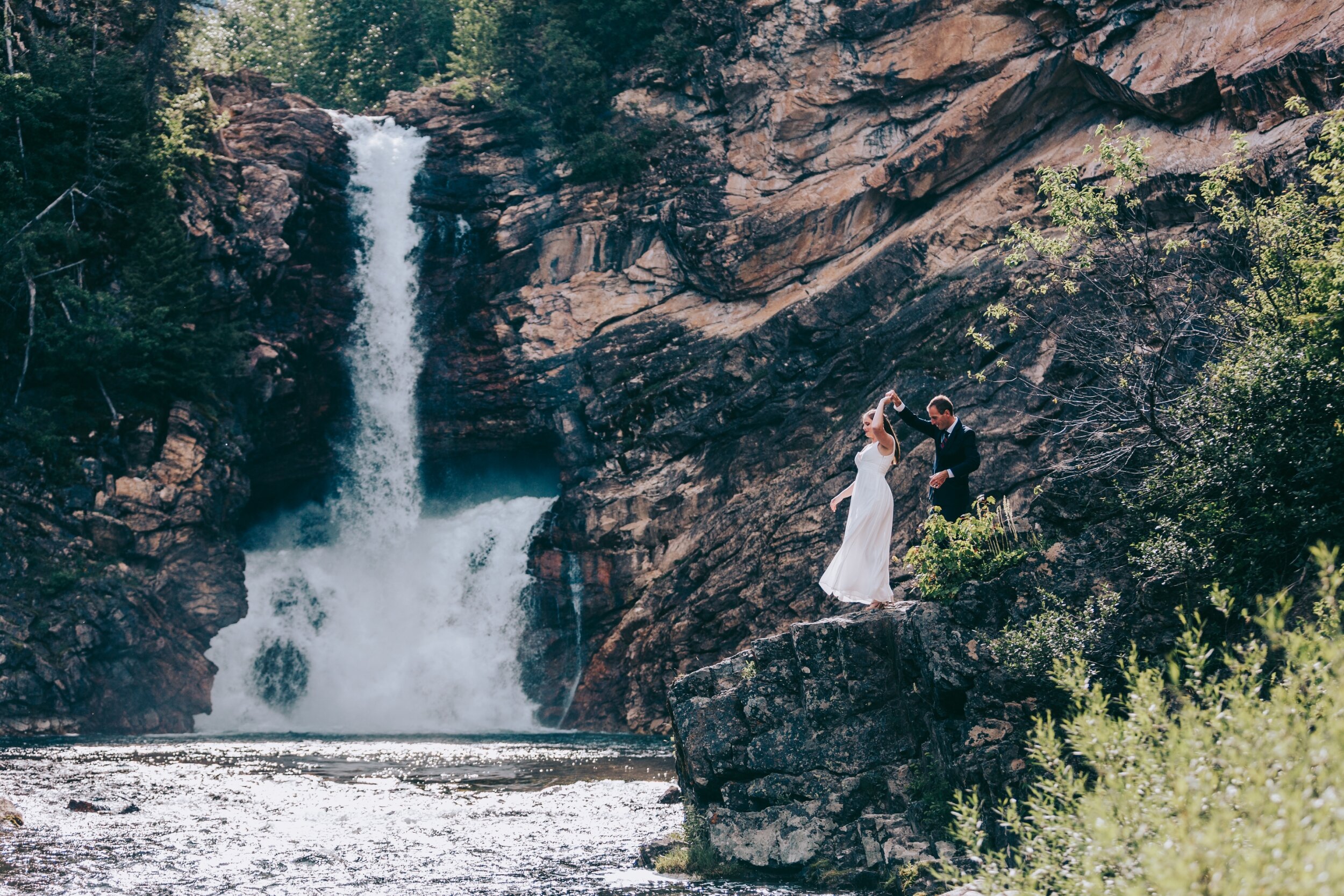
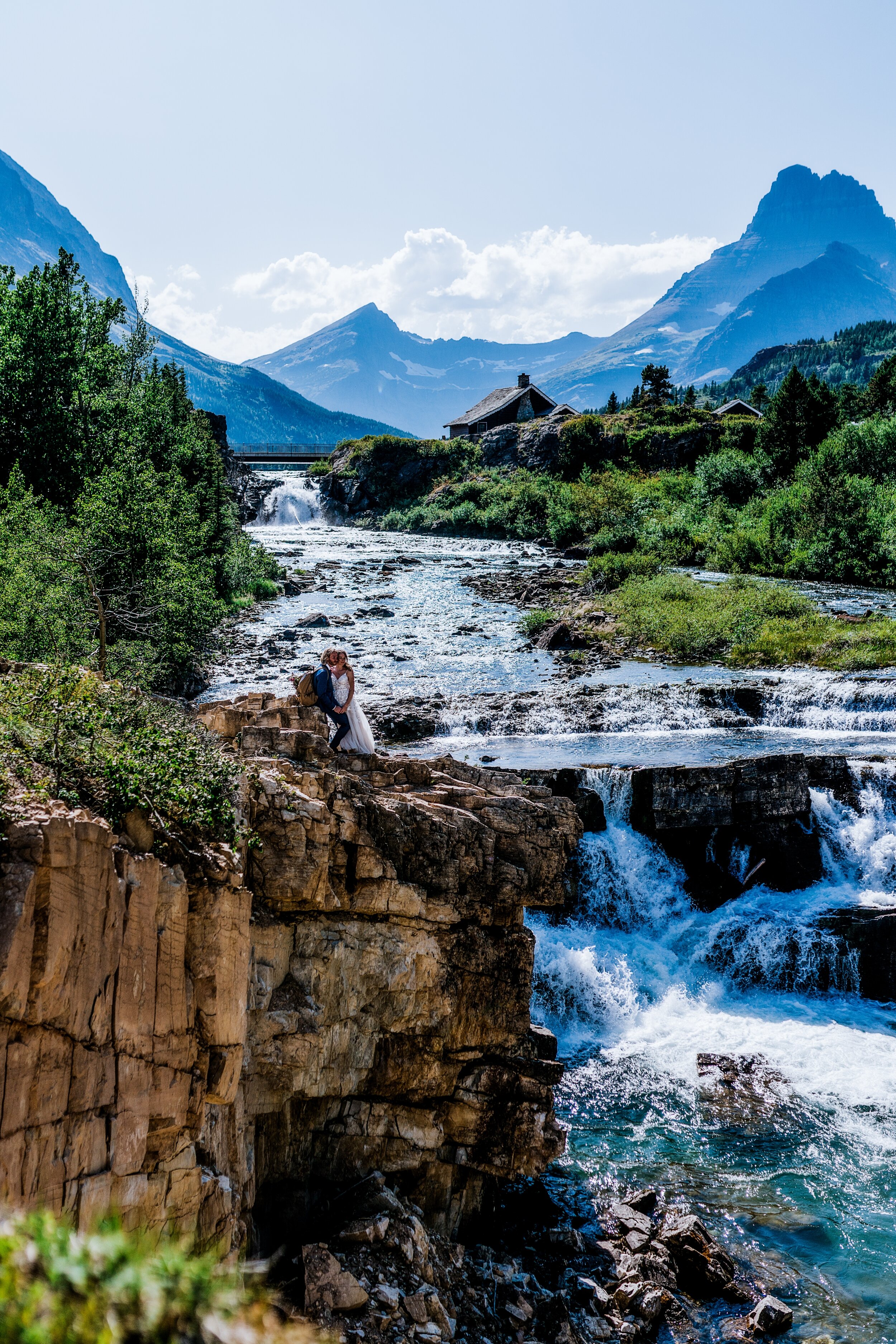
MANY GLACIER / SWIFT CURRENT: Swiftcurrent Falls * Swift Current Lake * Many Glacier Overlook (past the lodge)
Polebridge/Northfork: Polebridge Meadow (across from Mercantile) * bowman lake * kintla lake
Hiking Adventures:
-all mileage and elevation is 1 way
-these are all hikes I have been on or I have done research on and I know will be epic!
west glacier:
avalanche lake 2.3 mi (3.7 km) Elevation gain: 500 ft (152 m) the lake
SPERRY CHALET 6.3 mi (10.1 km) Elevation gain: 3,432 ft (1,046 m) find the chalet
SPERRY GLACIER: additional distance from the chalet 3.9 mi Elevation Gained: 1,600 FT the glacier here
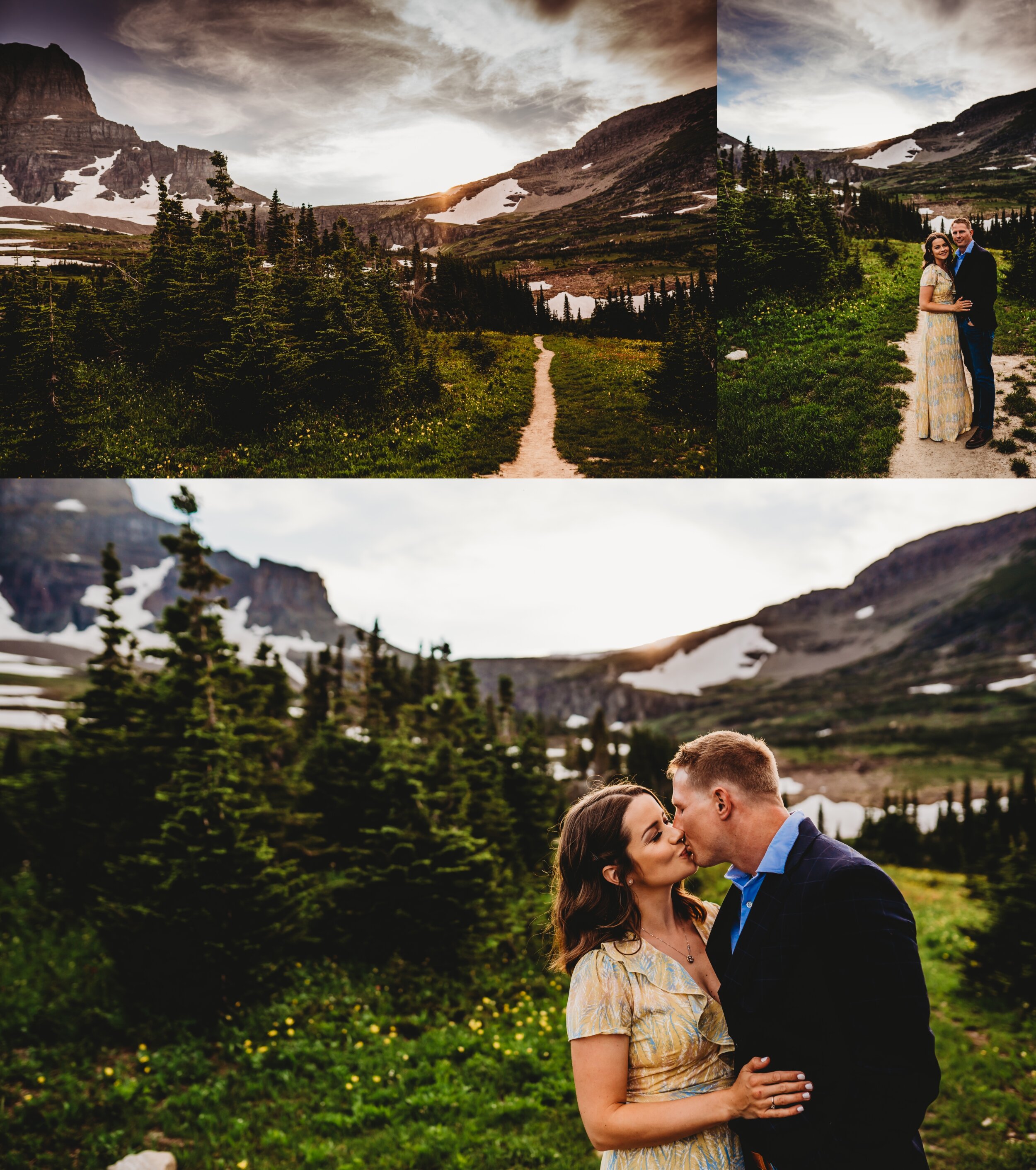
LOGAN’S PASS:
HIDDEN LAKE OVERLOOK: 1.4 mi (2.2 km) Elevation gain: 460 ft (140 m) here
HIDDEN LAKE *Additional: 1.2 miles (1.9 km) further to Hidden Lake, dropping 780 ft (238 m) from the Overlook
HIGHLINE TRAIL to GRINNELL GLACIER OVERLOOK: 7.7.5 mi Elevation Gain: 2830 ft overlook here
ST MARY:
SIYEH PASS: 4.6 mi (7.4 km) Elevation gain: 2,240 ft (683 m)
VIRGINIA falls: 1.6 mi (2.6 km)
BARING FALLS: 0.3 mi (0.5 km) Elevation loss: 250 ft (76 m)
TWO MEDICINE:
Running Eagle Falls 0.3 mi (0.5 km) the falls
Scenic Point 3.9 mi (6.3 km) Elevation gain: 2,350 ft (716 m) check out the point here
Upper Two Medicine Lake 5 mi (8 km) Elevation gain: 350 ft (107 m) more here
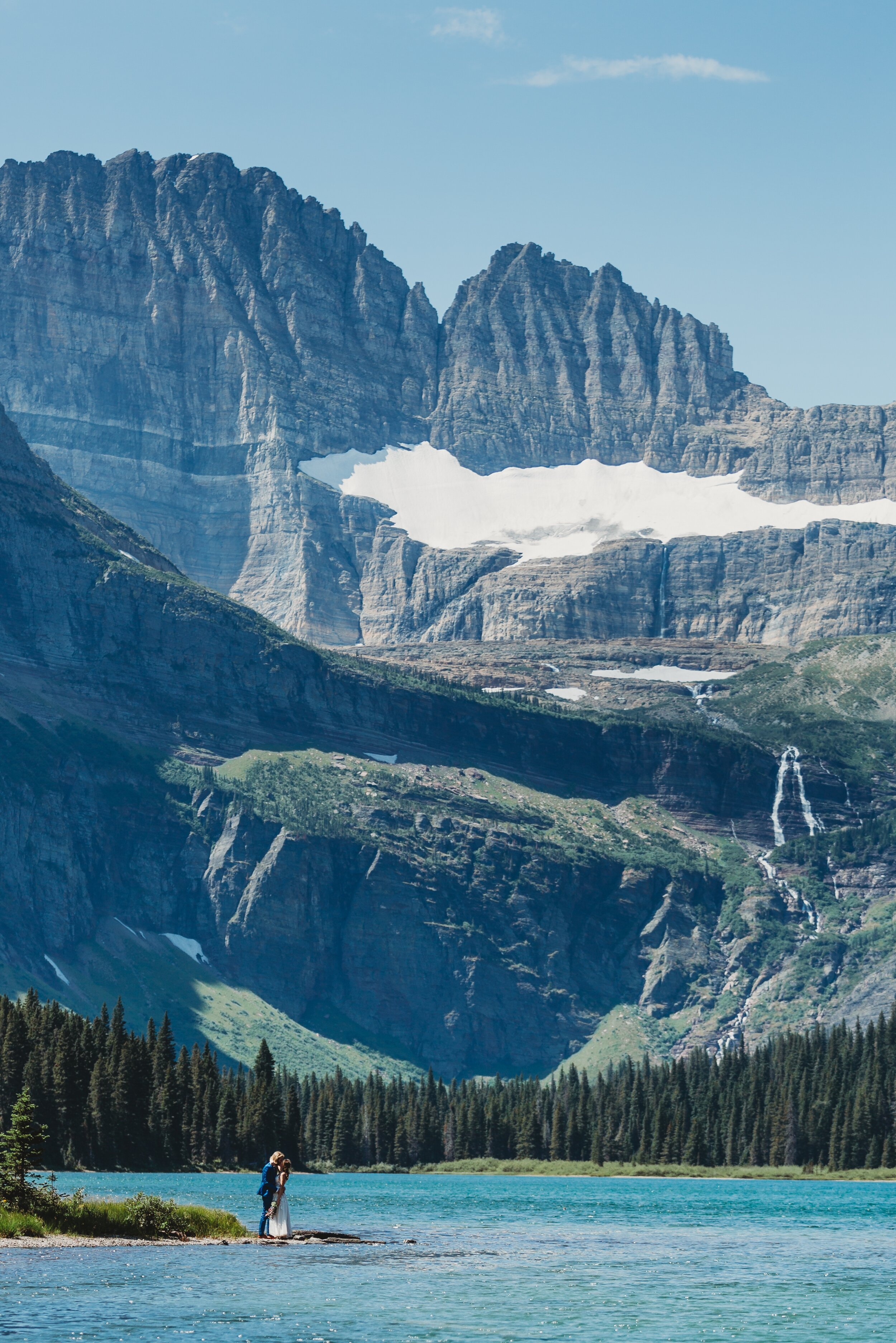
MANY GLACIER:
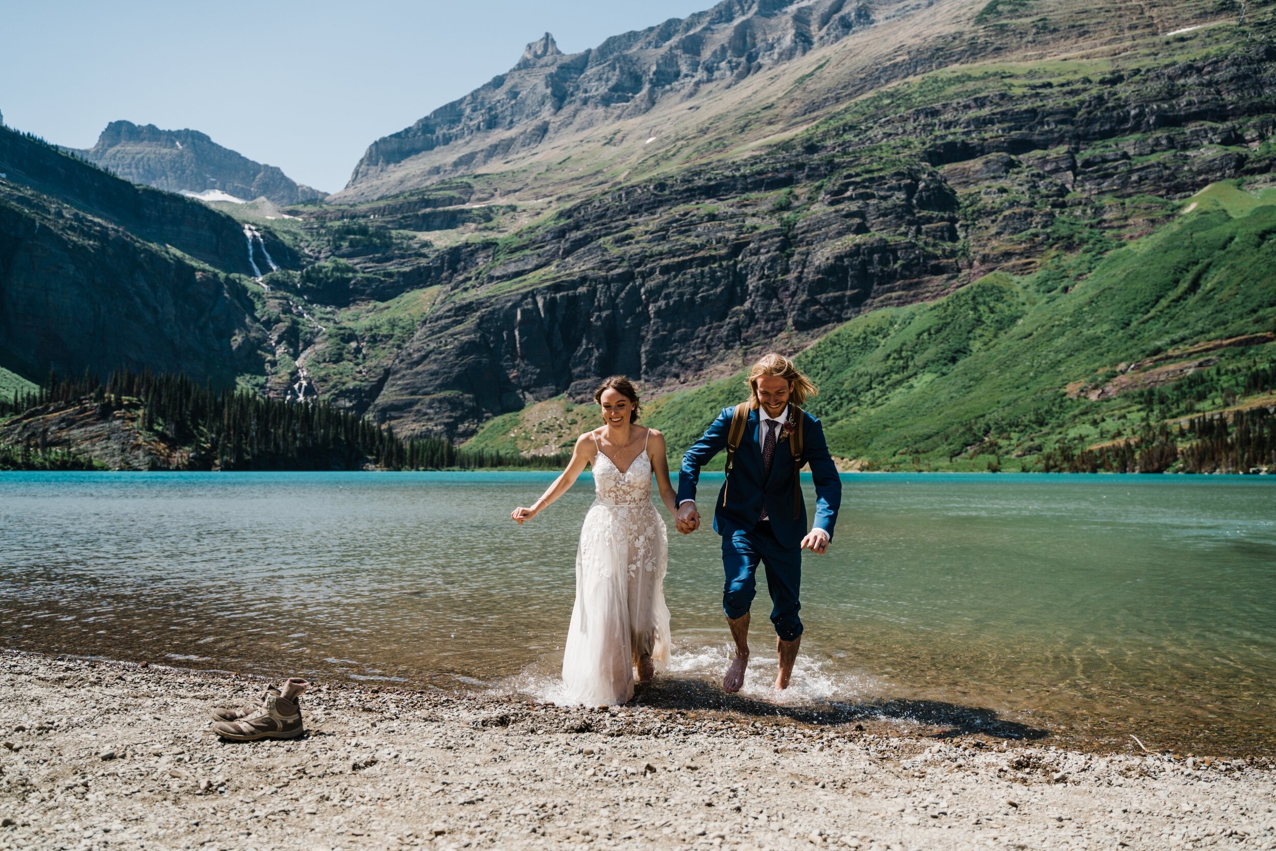
Cracker Lake 6.4 mi (10.3 km) Elevation gain: 1,400 ft (427 m) COBALT BLUE WATER HERE
Grinnell Glacier 5.3 mi (8.5 km) Elevation gain: 1,600 ft (488 m) ELOPEMENT HERE
Grinell Lake 3.4 mi (5.5 km) Elevation gain: 60 ft (18m) ACTUAL ELOPEMENT ADVENTURE HERE
Iceberg Lake 4.8 mi (7.7 km) Elevation gain: 1,200 ft (366 m) find the lake here
Apikuni Falls (1 mi (1.6 km) Elevation gain: 700 ft (213 m) find the falls here
NORTH FORK:
Numa Lookout 5.6 mi (9 km) Elevation gain: 2,930 ft (893 m) see more here